Welcome to Anjanaharibe-Sud
Protecting one of Madagascar’s most biologically rich tropical rainforests
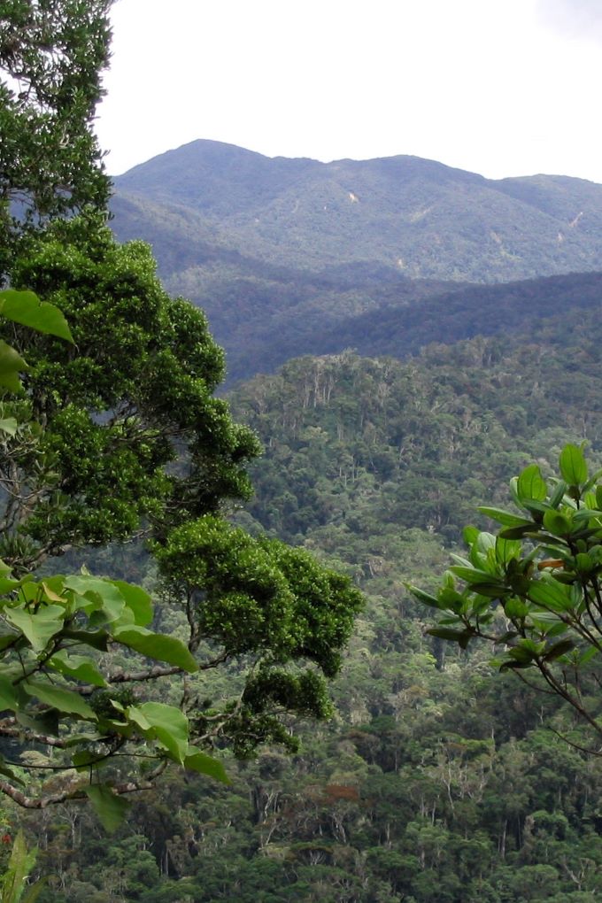
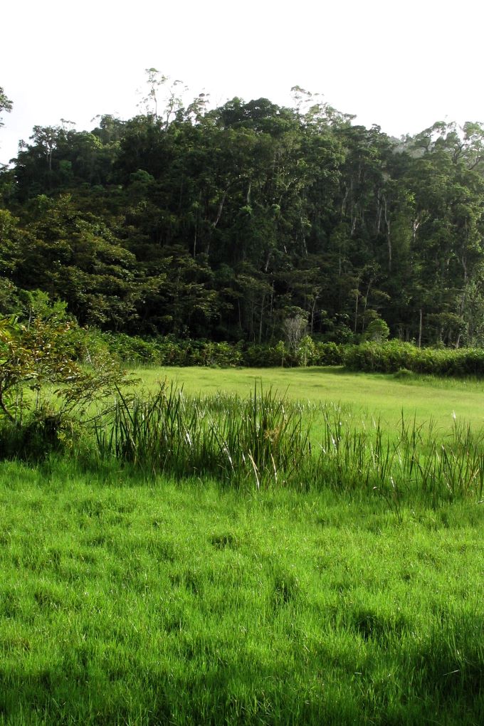
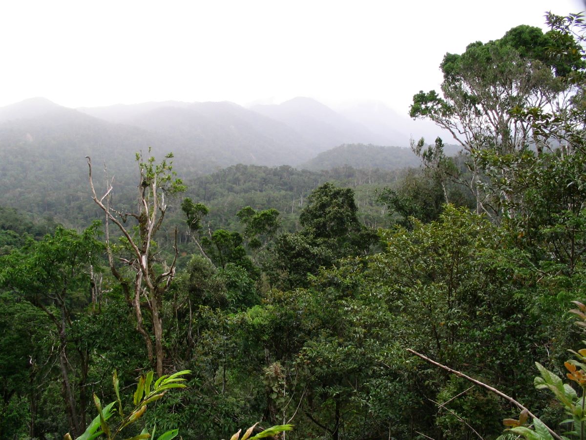
Little known and infrequently visited, Anjanaharibe-Sud Special Reserve is one of Madagascar’s secret jewels. Nestled deep in the remote and rugged mountains of northeastern Madagascar, Anjanaharibe-Sud contains some of the last intact stands of virgin mid- and high-elevation rainforest left in the entire country. It is a place of outstanding beauty and solitude, a place that offers a glimpse into the primeval past.
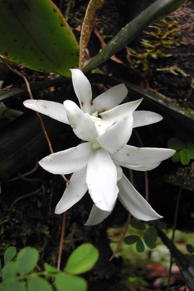
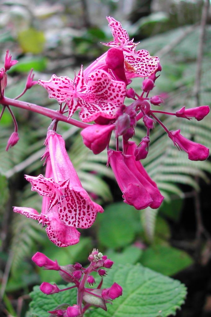
Anjanaharibe-Sud is significant for a number of reasons. Most importantly, it contains an unusually rich flora and fauna, including many rare and endemic species, and thus is a very high priority for biodiversity conservation. The forests of Anjanaharibe-Sud are also vital for protecting local watersheds, providing clean, silt-free water for villages and rice fields in the agriculturally important Andapa Basin. In addition, the mountains and forests here are central to the local residents’ rich cultural heritage: in Malagasy, Anjanaharibe (pronounced “an-dzana-hari-bay”) means “Place of the Great God.”
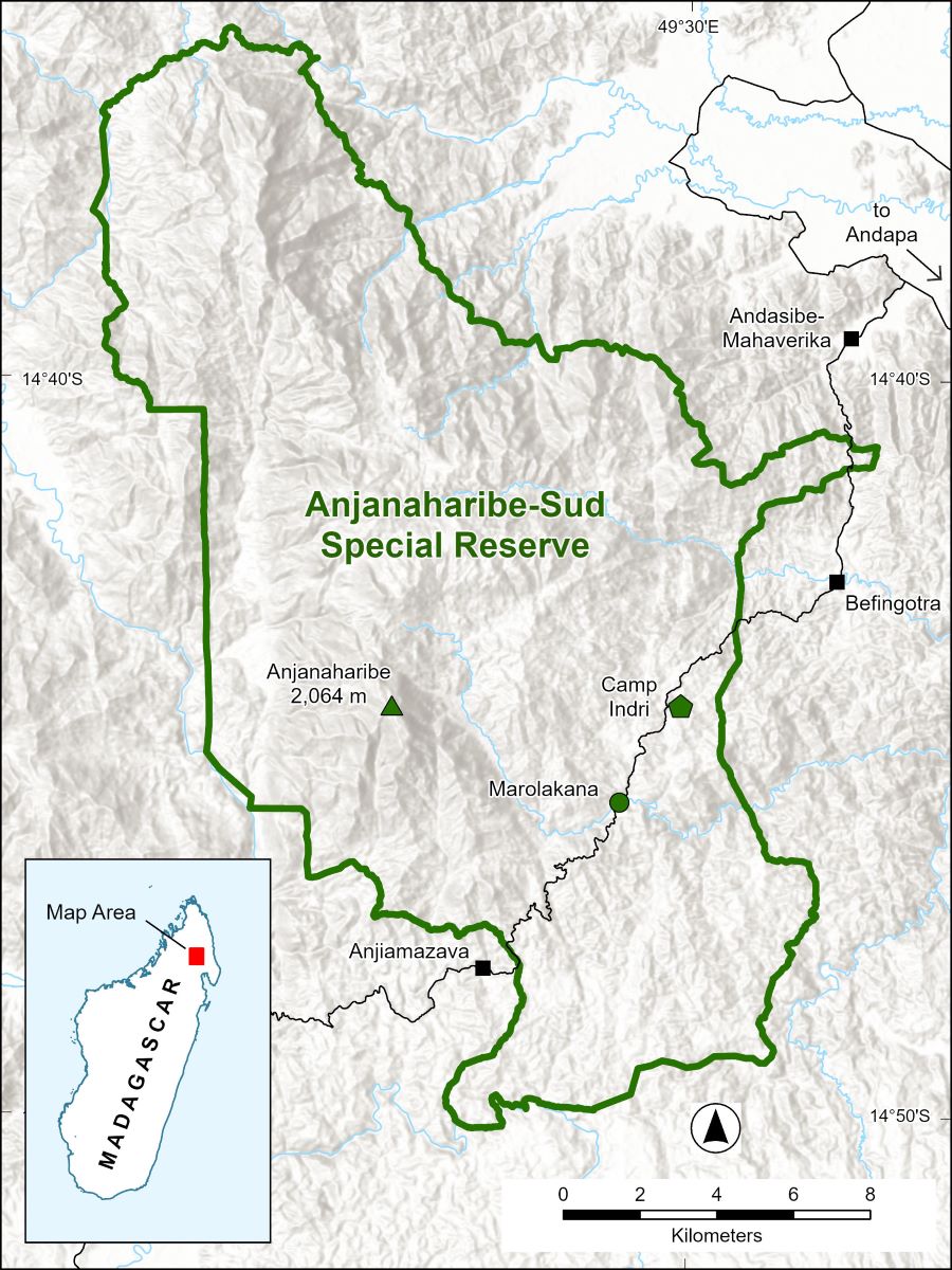
Designated a Special Reserve in 1958, Anjanaharibe-Sud originally protected only the eastern slopes of the Anjanaharibe Massif. The reserve has recently been expanded to include the western slopes, with a current size of 27,051 hectares (66,844 acres). Elevations in the reserve range from 500 m to the summit of Anjanaharibe-Anivo Peak at 2,064 m (1,640 to 6,772 ft).
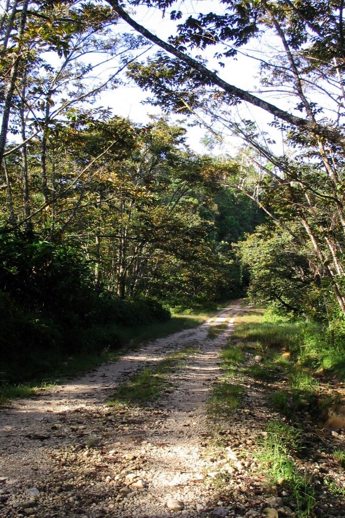
Access to this remote reserve is not easy, but for those adventuresome travelers who take the time and make the effort, the rewards are great. A visit to Anjanaharibe-Sud is always a memorable experience.
About the Reserve
Read about Anjanaharibe-Sud’s remarkable biodiversity and some of its iconic plants and animals, as well as the threats it faces and how you can help.
Visiting Anjanaharibe-Sud
Anjanaharibe-Sud offers an outstanding wilderness and cultural experience for those in search of adventure. Delve into the details about how to visit.
Quick Facts
Protection Status: IUCN Category IV — Habitat Management Area / Species Management Area
Managed by: Madagascar National Parks
Location: Northeastern Madagascar, west of the town of Andapa
Administrative Offices: Town of Andapa
Visitor Center: Village of Manantenina (serving both Marojejy National Park and Anjanaharibe-Sud Special Reserve)
Park Guides: Obtained in either Andapa or Befingotra
Size: 27,051 hectares (66,844 acres)
Elevation: 500–2,064 m (1,640–6,772 ft)
Precipitation: Approximately 2,155 mm (85 in) annually, although rainfall varies widely across the reserve
Average Daily Temperature: 14–23°C (57–73°F)
High temperatures in the warm season (December–February): >29°C (84°F)
Low temperatures in the cool season (June–August): 8°C (46°F)
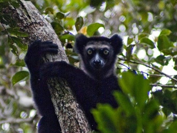
Flagship species: Black Indri (Indri indri), Silky Sifaka (Propithecus candidus), Takhtajania perrieri.